
Summary
- Community resource mapping is a participatory exercise in which residents document village assets such as water bodies, farmland, forests, roads, schools and health centres, along with seasonal changes and vulnerable areas. It needs no technology to begin, though GIS can later verify and refine the data.
- Unlike a geographical map, it captures how resources are actually used and who can access them, drawing on the knowledge of farmers, women, pastoralists and residents of marginalised hamlets.
- The findings help Gram Panchayats identify precise infrastructure gaps, plan for water security before a crisis, and align livelihood support with existing skills and produce, feeding into the GPDP and schemes such as MGNREGA.
- The process must be community-led and inclusive. If dominated by elected representatives or landowners, it risks overlooking women, landless labourers, SC/ST households, people with disabilities and remote settlements.
- Mapping is only the first step. Priorities must be turned into costed, time-bound actions that residents can track, and the assessment revisited as rainfall, livelihoods and population change.
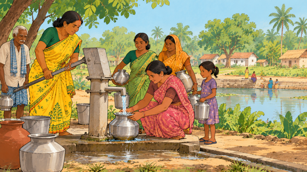
In Puruna Chhatrapur, a village in Odisha, official records suggested that drinking water coverage across the district was relatively high. But families in the village continued to face water stress. The discrepancy prompted community groups, supported by both governmental and non-governmental programmes, to map local water and sanitation infrastructure in 2017, followed by a survey of drinking water sources and household access.
The exercise helped establish a clearer picture of which facilities existed, their condition and where services were falling short. Over the following years, the process contributed to greater agreement on village water and sanitation priorities, repairs to handpumps and damaged platforms, and government testing of water sources identified as potentially contaminated.
The takeaway from this case study is simple: when a village proposes a new water tank, the first question is not just how much it will cost, but whether the existing water sources are being used effectively. This primarily forms the foundation of community resource mapping.
An insight into the process
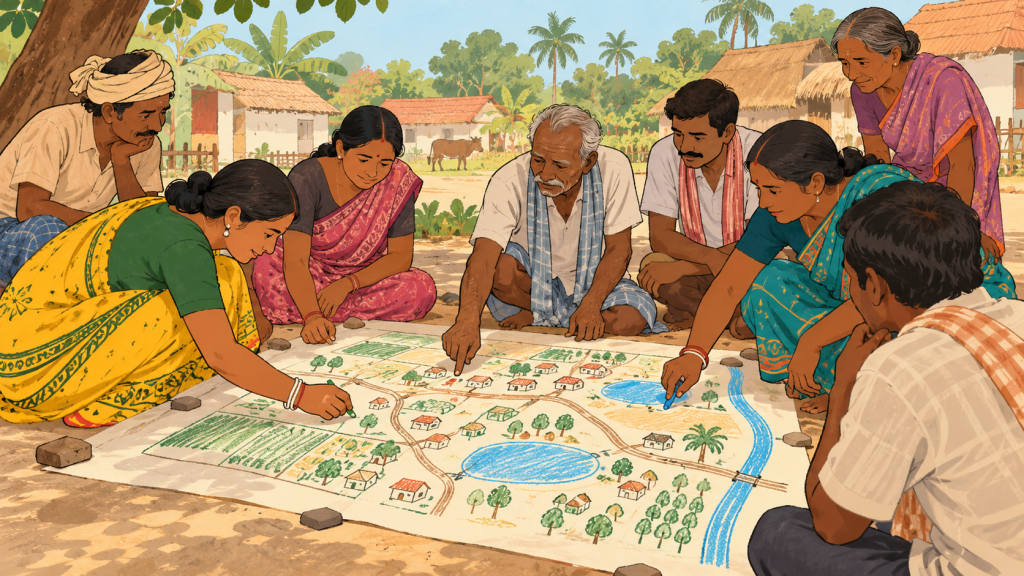
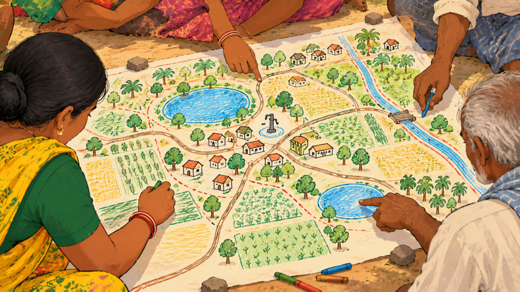
Local resource mapping is a participatory exercise in which community members identify and document the resources available in their village. These may include ponds, wells, forests, grazing land, agricultural fields, roads, schools, health centres, community buildings and/or local markets. The exercise can also help record seasonal changes, areas vulnerable to flooding or drought, and locations where essential services are difficult to access.
Unlike a map that simply marks geographical features, a participatory resource map draws on residents’ knowledge of how these resources are used. For instance, farmers can help identify fields that receive insufficient irrigation, while women farmers may point out water sources that become inaccessible during certain months.
Similarly, pastoral communities can help highlight traditional grazing routes while residents of marginalised hamlets and indigenous communities may identify gaps in overall connectivity or public services.
The process does not require sophisticated technology. Communities can simply begin with paper, coloured markers and group discussions, or draw maps on the ground using locally available materials. Geographic Information Systems (GIS) and satellite imagery can subsequently help verify locations, measure distances and support more detailed planning on the policy and governmental level.
Towards building an infrastructure
The exercise is particularly helpful in identifying gaps in essential Infrastructure. A resource map can help a Gram Panchayat move from general complaints about inadequate infrastructure to a more precise assessment of what needs to change. Plotting schools, health centres and roads can help identify hamlets where children have difficulty reaching classrooms or residents must travel considerable distances for basic healthcare. These findings can inform the preparation of the Gram Panchayat Development Plan (GPDP), which guides local development priorities and the use of available resources.
Moreover, resource mapping is especially useful when development depends on the condition and distribution of natural resources. In a drought-prone village, residents could map ponds, wells, streams, drainage channels, groundwater-dependent areas and agricultural land to understand where water is available and where it is lost through runoff. This information can support decisions about repairing ponds, constructing rainwater-harvesting structures, restoring drainage channels or prioritising watershed treatment. Mapping the relationship between water sources, land use and cultivation patterns can also help communities plan for seasonal shortages rather than responding only after a crisis occurs.
Community resource mapping can also strengthen local livelihoods by helping institutions identify where government livelihood schemes, agricultural extension services and skill-development programmes can complement one another. A village with abundant fruit production but limited storage facilities, for instance, might prioritise collection centres, processing equipment or better market access.
Similarly, a community with traditional weaving skills may benefit more from shared workspaces, specialised training and stronger links to buyers than from an entirely new livelihood programme. By aligning existing skills and resources with the support communities need, such planning can promote more sustainable livelihoods and contribute to a more holistic approach to rural development.
Making it a community-led process
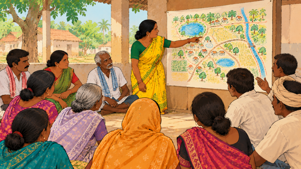
Community resource mapping is not just about documenting what a village has on paper but mostly about bringing people into decisions about what their village needs and how development should be pursued. For the process to be actually meaningful, residents must be able to influence which problems are recognised, which resources are prioritised and how available funds are allocated. If these decisions are shaped primarily by elected representatives or influential landowners, the resulting plan may overlook the needs of women, landless labourers, members of Scheduled Castes and Scheduled Tribes, people with disabilities and residents of smaller or more remote hamlets.
This therefore, requires creating opportunities for different groups to share their experiences and participate in setting priorities. Village meetings, household consultations, discussions with self-help groups and visits to different settlements can help local institutions understand how access to resources varies across the community. Women, for instance, may identify recurring difficulties in accessing drinking water that are not apparent in official records, while agricultural labourers may highlight seasonal employment gaps that require a different set of interventions. These perspectives should inform the development plan from the outset, rather than being sought only after priorities have been decided.
Equally important is allowing inclusivity by examining who can actually use the resources being documented. A village pond may exist, but its condition, location or local rules governing access may limit its usefulness to some households. Agricultural land may be productive, but tenants and landless workers may have little say in decisions about how it is managed. Recognising these differences further helps ensure that planning considers not just the availability of resources, but also their accessibility and distribution. The underlying aim is to make community resource mapping a starting point for collective decision-making.
Towards policymaking
Identifying a village’s needs is essentially only the first step because the information gathered also needs to be translated into decisions. Gram Panchayats can use community consultations and resource assessments to determine which interventions are most urgent, what resources are required, which government schemes or departments could support them, etc. For instance, if residents identify recurring water shortages alongside neglected ponds and drainage channels, the Panchayat could explore suitable water conservation works under the Mahatma Gandhi National Rural Employment Guarantee Act (MGNREGA), subject to scheme guidelines, technical assessments and approval. Similarly, gaps in drinking water access could inform proposals to the relevant rural water supply authorities.
Putting these priorities into practice also requires assigning responsibilities, estimating costs, identifying funding sources and establishing timelines for implementation. Community members should be able to follow up on whether proposed interventions have been approved, whether work has begun and whether the intended beneficiaries are seeing improvements.
Local assessments must also be revisited as circumstances change. Shifts in rainfall, agricultural practices, population and livelihood needs can alter a village’s priorities over time. Periodic consultations and reviews allow Gram Panchayats to assess the effectiveness of completed projects, identify emerging gaps and adjust their plans accordingly. In this way, community resource mapping becomes part of an ongoing development process rather than a one-time exercise, connecting local knowledge with the institutions and resources needed to act on it.
When inclusive consultations are combined with reliable data and accountable local institutions, rural communities can move beyond one-size-fits-all interventions. It allows development planning to begin with a more grounded question: how can its resources be used more fairly and effectively?
FAQs
1. What is community resource mapping?
Community resource mapping is a participatory exercise in which village residents identify and document the natural, physical and social resources available to them, such as water bodies, forests, grazing land, farmland, roads, schools and health centres. It also records seasonal changes, areas prone to flooding or drought, and places where essential services are hard to reach.
2. How is a participatory resource map different from an ordinary map?community resource mapping
An ordinary map marks where things are. A participatory map draws on residents’ lived knowledge of how resources are used and who can access them. It can reveal, for example, that a water source dries up in summer, that a pond is unusable for some households, or that a hamlet is cut off from basic services.
3. Does resource mapping require technology or expertise?
No. Communities can begin with paper, coloured markers and group discussions, or draw maps on the ground with local materials. GIS and satellite imagery can be used later to verify locations, measure distances and support more detailed planning at the policy level.
4. How does resource mapping help a Gram Panchayat?
It turns general complaints into a precise assessment of what needs to change. Plotting schools, health centres, roads and water sources shows exactly where gaps exist, and these findings can feed directly into the Gram Panchayat Development Plan (GPDP) and proposals to government departments.
5. How can community resource mapping support water security and livelihoods?
In drought-prone areas, mapping ponds, wells, streams, drainage channels and farmland shows where water is available and where it is lost, guiding decisions on repairs, rainwater harvesting and watershed treatment. For livelihoods, it helps match existing skills and produce with the right support, such as storage, processing equipment, training or market links.
6. Why is it important that the process be community-led?
If decisions are shaped mainly by elected representatives or large landowners, the plan may ignore the needs of women, landless workers, Scheduled Castes and Tribes, people with disabilities and remote hamlets. Village meetings, household consultations, self-help group discussions and visits to different settlements help ensure all perspectives shape priorities from the start.
7. What happens after the map is made?
The Gram Panchayat uses the findings to decide which interventions are most urgent, which schemes (such as MGNREGA) can fund them, who is responsible, what it will cost and when work will happen. Residents should be able to follow up on approvals and progress, and the assessment should be revisited periodically as conditions change.